
Information portal
Invalids’ Cemetery
The Invalids’ Cemetery in Berlin-Mitte brings Prussian history together with traces of the divided city. Explore historic grave monuments, the surviving hinterland wall and the Auguste Viktoria Bell, with photographs, a map and practical visiting advice.
At a glance
- Present area
- 2.143 hectares
- Sections
- Sections A, B, C, D, E, F, G and H
- First burial
- 20 December 1748
Visitor information
Prepare your visit
Quick access to the published information for planning a visit.
Address and directions
Visitor address, location and directions.
Learn moreOpening hours
Access hours for the cemetery.
Learn moreCemetery map
Maps and guidance for finding your way around the cemetery grounds.
Learn moreAdministration
Contact details and information about the responsible administration.
Learn moreWhat to see at the Invalids’ Cemetery
Between Scharnhorststraße and the Berlin-Spandau Shipping Canal, the cemetery’s open lawns tell a story alongside its monuments. The first burial took place on 20 December 1748. Today, the 2.143-hectare grounds form a protected place of remembrance.
Scharnhorst’s monument and its reclining lion
The bronze lion makes Scharnhorst’s monument a distinctive destination. Nearby, look for contrasting memorial forms: a cast-iron cross, a green canopy and simple family stones. Notable graves brings together eight profiles with photographs and map positions.
The Berlin Wall between the burial sections
The surviving hinterland wall belonged to the border that cut through the cemetery. The history of the Invalids’ Cemetery explains why graves disappeared and why today’s open lawns are not an original park landscape.
Marga von Etzdorf and civilian lives
Aviator Marga von Etzdorf, hydraulic engineer Gotthilf Hagen and theologian Ernst Troeltsch reveal another side of this place. Their monuments invite you to look beyond military history towards individual lives and different ways of remembering them.
Plan your visit: map, walking tour and directions
For a first visit, our seven-stop cemetery tour links the northern entrance, selected graves, the hinterland wall and the bell. The cemetery map also shows entrances and nearby bus stops. If you are looking for a particular person, start with grave search.
Before setting out, check the seasonal opening hours and advice on directions, transport and parking.
While visiting: Our map does not show a public toilet or water point within the grounds. Bring water if needed and plan to return before closing time.
Discover the cemetery
History and places
Explore the cemetery’s history, selected places and points of orientation.
Photographic impressions
Invalidenfriedhof Berlin in pictures
Selected photographs offer a visual impression of Invalidenfriedhof Berlin.
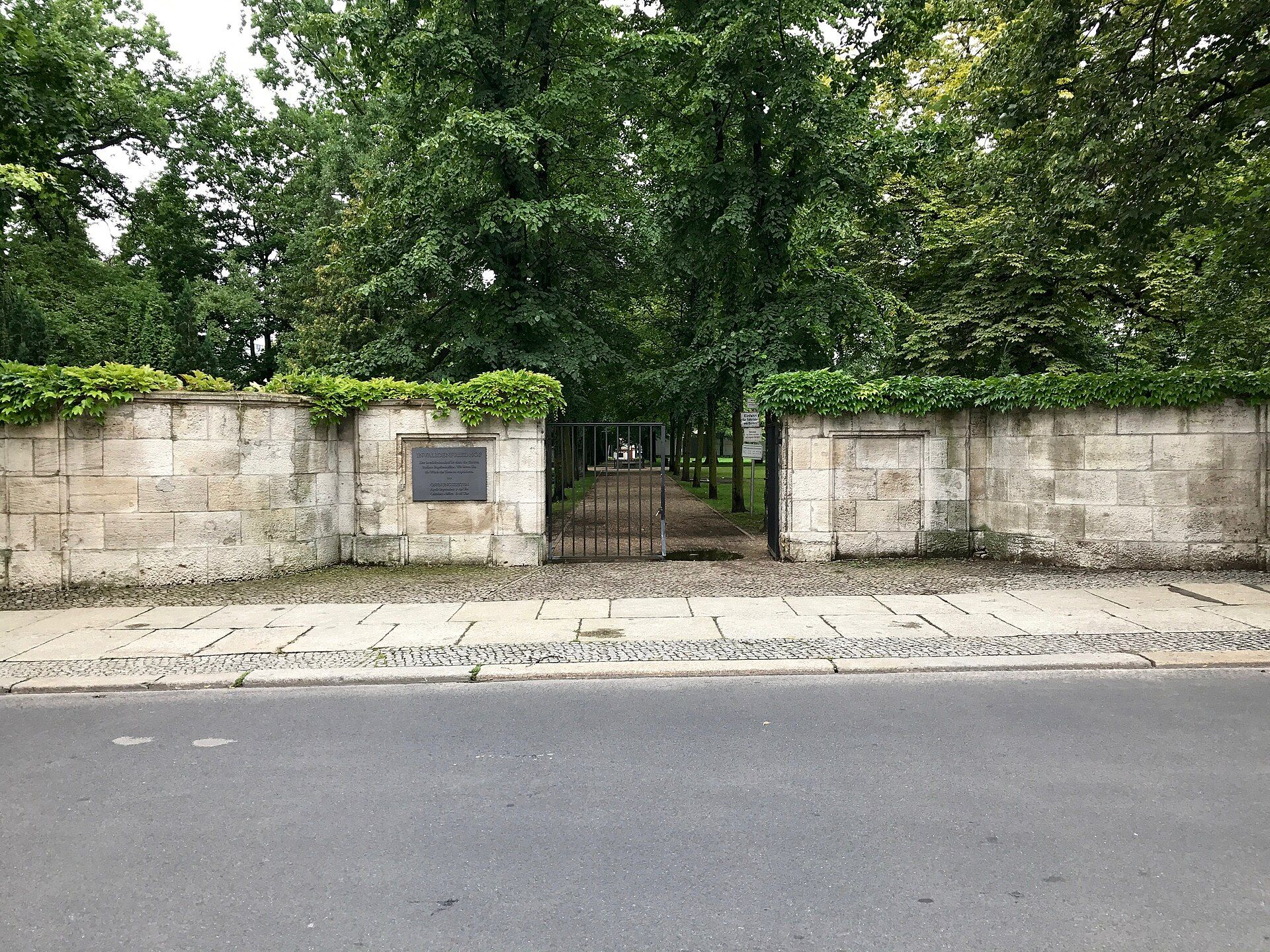
Entrance on Scharnhorststraße
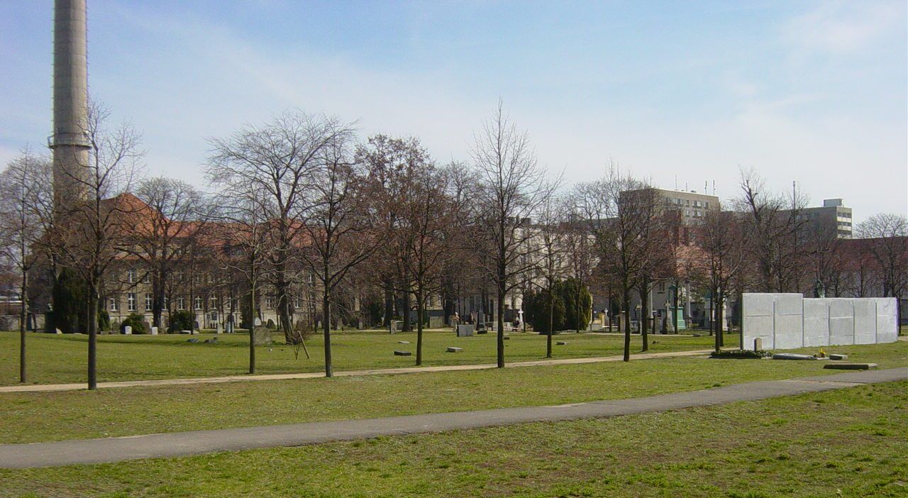
Open lawns and historical traces in the Invalids’ Cemetery
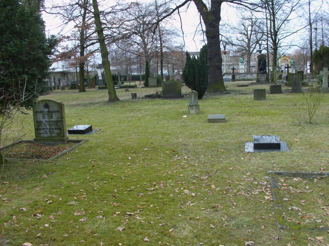
Graves beneath mature trees
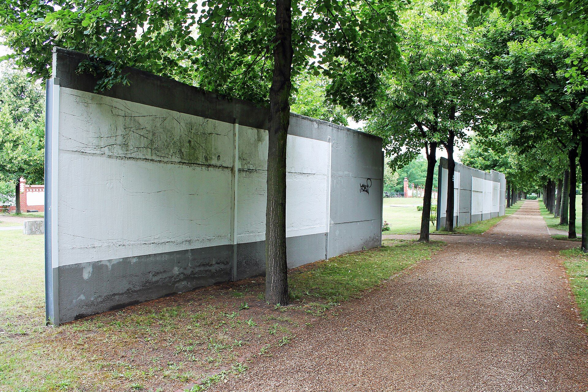
Surviving section of the Berlin Wall hinterland barrier
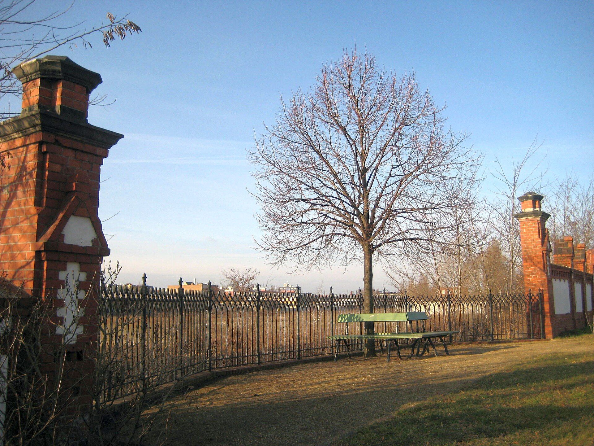
Reconstructed cemetery wall with the Königslinde tree
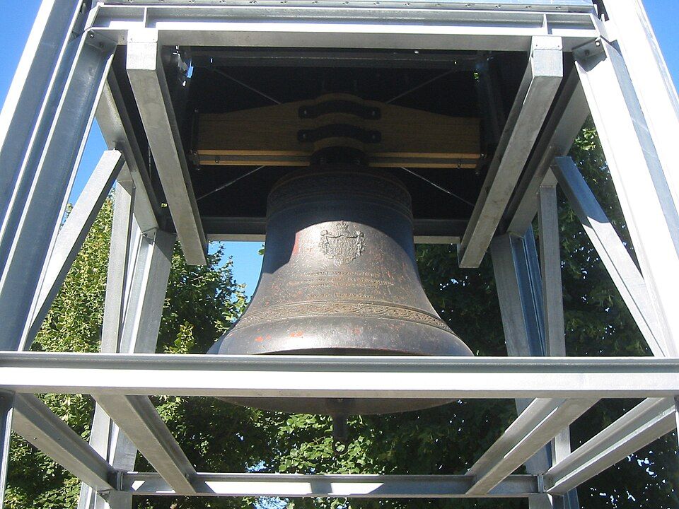
Auguste Viktoria Bell from the former Gnadenkirche
Further information
About graves
Direct access to the published information about graves.
Frequently asked questions
What is the address of the Invalids’ Cemetery in Berlin?
The visitor address is Scharnhorststraße 33, 10115 Berlin. Some older listings use different street numbers; this guide follows the current Berlin cemetery list and heritage documentation.
When is the Invalids’ Cemetery open?
See opening hours for details.
Is the cemetery still open to new burials?
No. It has been closed to new burials since 1951. The grounds now function as a historic cemetery, protected garden monument and place of remembrance.
Is there a current official cemetery plan?
No current official PDF site plan has been published. The cemetery map shows 17 precisely mapped points. A Commons plan from 1925 is a historical record, not a present-day visitor map.
How many entrances does the map show?
Four gates are mapped for pedestrians and bicycles. One is additionally mapped as wheelchair accessible. Neutral numbers are used because proper names are not available for all four gates.
Which public-transport stops are nearby?
Nearby stops include Habersaathstraße, Bundeswehrkrankenhaus, Lydia-Rabinowitsch-Straße and Otto-Weidt-Platz. Check current routes, departure times and accessibility before travelling.
Can I park directly at the cemetery?
No visitor car park is identified. The parking area immediately south of the cemetery is not publicly accessible. On-street spaces nearby are not reserved for cemetery visitors and may be subject to charges.
Are there toilets or water points inside?
Neither a public toilet nor a water point appears on the cemetery map. Arrange both needs before your visit.
How can I find a particular grave?
Begin with a full name, life dates and any burial-section or location detail. Grave search explains the process; ask the cemetery administration about surviving records.
Why are sections of the Berlin Wall inside the cemetery?
The cemetery lay in the border zone during the divided-city period. The hinterland barrier and patrol road cut through historic burial sections. Two surviving wall sections and several information boards now form part of the memorial landscape.
What is the Auguste Viktoria Bell?
It is the surviving bell from the former Gnadenkirche. Rescued after the church ruin was demolished in 1967, it was installed in the cemetery in 2011 and suspended in a bell frame in 2013.